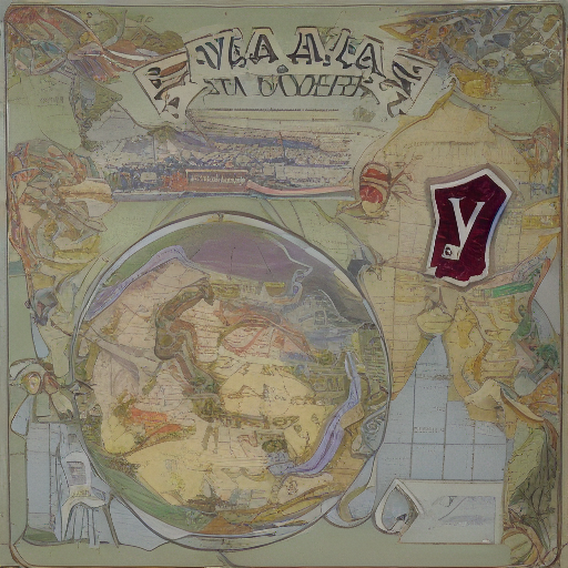
Map making has undergone significant transformations since its inception as a manual process, with cartographers relying on instruments such as astrolabes and sextants to create accurate representations of the world’s surface. In the twenty-first century, map making has evolved into a highly technological and precise field, driven by advancements in computer-aided design (CAD) software, geographic information systems (GIS), and satellite imaging.
The Evolution of Cartography
With the advent of computer-aided design (CAD) software and geographic information systems (GIS), map makers can now create detailed and accurate representations of geographical features with ease. These digital tools allow for rapid editing, scale adjustment, and layering of data, making it possible to produce high-quality maps in a fraction of the time required by traditional cartographic methods. Additionally, the integration of satellite imagery and sensor data has greatly enhanced the accuracy and comprehensiveness of modern maps, enabling map makers to incorporate a vast range of information into their creations, from elevation profiles to environmental hazards.
The traditional art of map making has seen a radical transformation in the 21st century, driven by technological advancements and changing societal needs. Gone are the days when maps were painstakingly hand-drawn by skilled cartographers, relying on instruments such as astrolabes and sextants to record geographical data. Today, map making is a highly automated process, with computers and software handling much of the work, from initial data collection to final product creation.
Advances in Technology
The widespread adoption of computer-aided design (CAD) software and geographic information systems (GIS) has revolutionized the map making process in the 21st century. These digital tools enable cartographers to work with vast amounts of data, automate complex calculations, and produce high-quality maps quickly and efficiently. The use of satellite imagery and sensor data has also greatly enhanced the accuracy and comprehensiveness of modern maps, allowing map makers to incorporate a wide range of information into their creations.
The introduction of technology has significantly impacted the map making process in the 21st century, offering a range of benefits and opportunities for improvement. Software such as ESRI’s ArcGIS and Autodesk’s AutoCAD have become essential tools for cartographers, providing powerful mapping and analysis capabilities that were previously unimaginable. Additionally, advancements in satellite imaging and sensor data collection have enabled map makers to access vast amounts of information on the Earth’s surface, allowing for more accurate and comprehensive representations of our planet.
In conclusion, map making in the 21st century has undergone a profound transformation, driven by technological advancements and changing societal needs. From traditional hand-drawn maps to highly automated digital creations, cartography has evolved into a precise and efficient field that relies on computer-aided design software, geographic information systems, and satellite imagery. As we continue to navigate the complexities of our rapidly changing world, accurate and comprehensive maps will remain essential tools for understanding and communicating geographical data, ensuring that map making in the 21st century remains a vital and dynamic pursuit.
Leave a Reply